

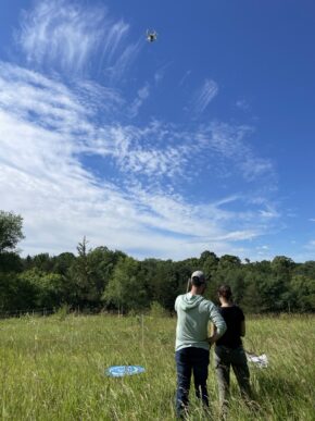
Monarch Joint Venture is collaborating with several partners and funders to advance remote sensing technology and put it to use across regional landscapes.
With support from the US Department of Agriculture Farm Service Agency, MJV will use aerial imagery to identify how common milkweed abundance varies across Conservation Reserve Program (CRP) practice types and in several Midwestern states. This information will help better assess the contribution that certain CRP practices are making to monarch breeding habitat. This project will also develop a roadmap for future applications of the technology and begin to collect training images to facilitate additional machine learning models. Click here to download the project flyer.
The US Fish and Wildlife Service is supporting MJV's use of this technology to assess milkweed availability within landscapes surrounding certain federal lands in Minnesota and Iowa, and gauge the extent to which federal conservation lands are contributing to monarch habitat in those landscapes. Remote sensed data will also be used to make recommendations regarding the application of the Integrated Monarch Monitoring Program in large fields.
MJV also has several collaborations to help collect additional aerial imagery and generate new models, such as a model that will quantify floral resource coverage.